

Salginatobel bridge & Schuders from above
|
Interactive 3D panoramas of the Schiers / Schuders region, Switzerland The panoramas open in new window and require Java Script or HTML 5. |
360°x180° panorama of the Salginatobel bridge (June 20, 2017). Point of view: South of bridge. Panorama opens with view towards northeast. |
360°x180° panorama of the Salginatobel bridge (June 20, 2017). Point of view: North of bridge. Panorama opens with view towards southwest. |
360°x180° panorama of the Salginatobel bridge from far / Schuders, canton Graubünden, Switzerland (July 4, 2017). |
360°x180° panorama of Schuders, canton Graubünden, Switzerland (July 4, 2017). |
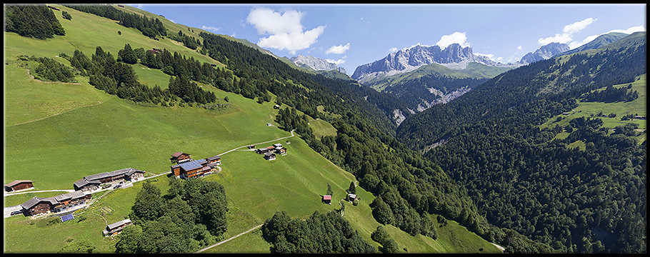
360°x180° panorama of Schuders, canton Graubünden, Switzerland (July 4, 2017). |
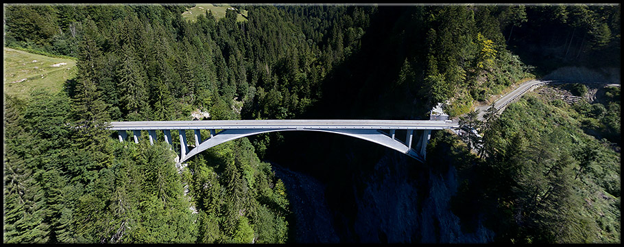
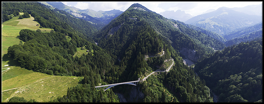
Partial panorama of the Salginatobel bridge (August 3, 2015). |
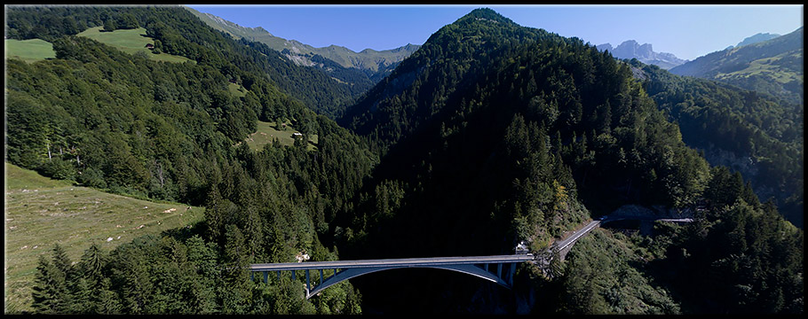
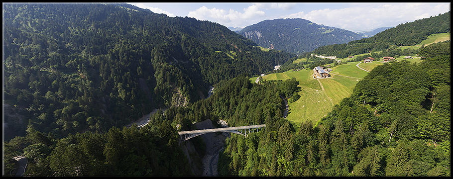
Partial panorama of the Salginatobel bridge from a larger distance (August 5, 2015). |
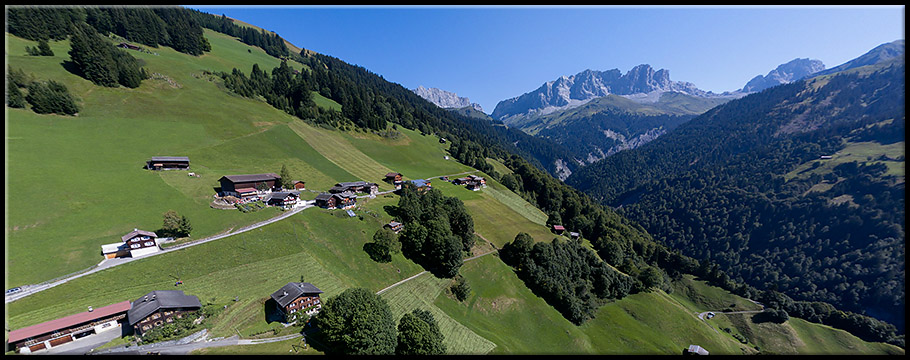
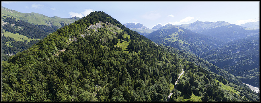
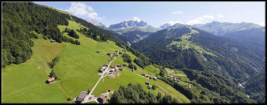
Partial panorama of Schuders (August 5, 2015). |
Gallery information
| Gallery content: Salginatobel bridge / Schuders interactive panoramas, canton of Graubünden, Switzerland. |
Equipment: Images taken by DJI Phantom 3 / Phantom 4 Pro quadrocopter. Stitching performed by Panorama Studio Pro / PTGui software. |